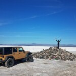
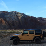
How do you get your 73 year old mother to drive up a slope covered in lava rocks the size of a cantaloupe? How about spending a few days driving across the sandy Mojave Desert, dodging joshua trees and chollas? Well, just invite her!
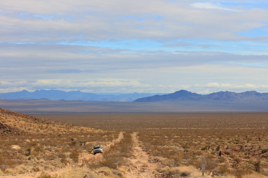
It all started just after Christmas during our annual family visit. We had planned a trip along the Mojave Road with a couple friends and their relatives. The Mojave Road is a historic route for crossing the Mojave Desert used by settlers and others headed west. The route largely follows the original route as modern railways and roads found easier paths both north and south. It is a chance to see the desert as our elders did, albeit with heated seats and 12v fridges.
As we told her about it, my mom just looked sheepish and said, in the cutest way possible, “I want to go.” Kim and I looked at each other and said “well, why not!” And the plan was made.
Last year, my dad/her husband of over 50 years passed away after fighting liver cancer. She never thought she would go offroading through the desert again. But my dad had set her up well, with a 2002 Silverado with a 4 Wheel Camper on the back. They had gone on many an adventure in it themselves over the years. He had set it up to be easy to use and capable enough to go down most non-paved roads. They even took it on a trip through the Canadian Yukon Territories several years back. I gave the rig a good inspection and deemed it worthy.
As it turned out, my friends and their relatives all got sick just before the trip, so it was just Kim and I in the Jeep Wrangler Unlimited and mom in her Silverado camper.
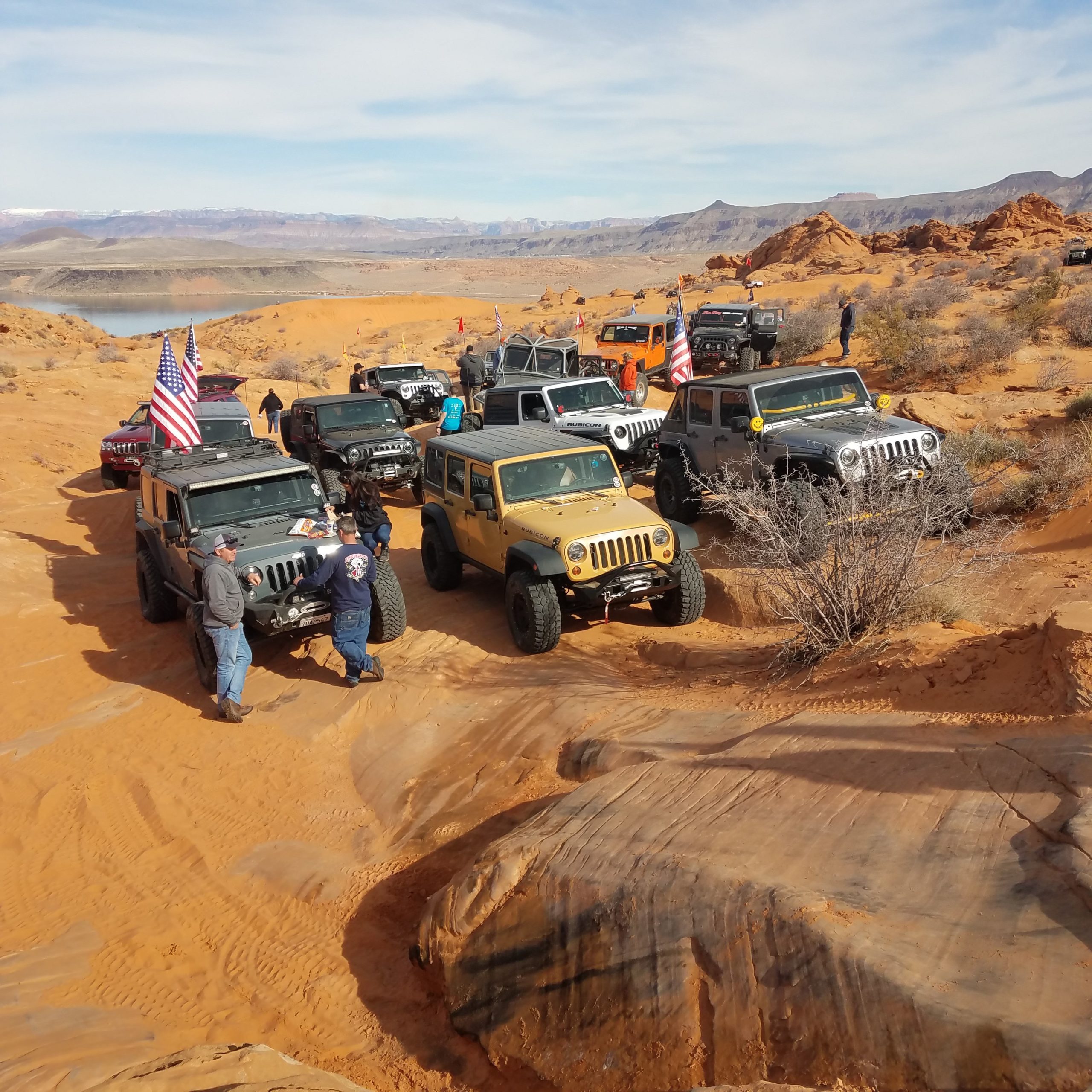
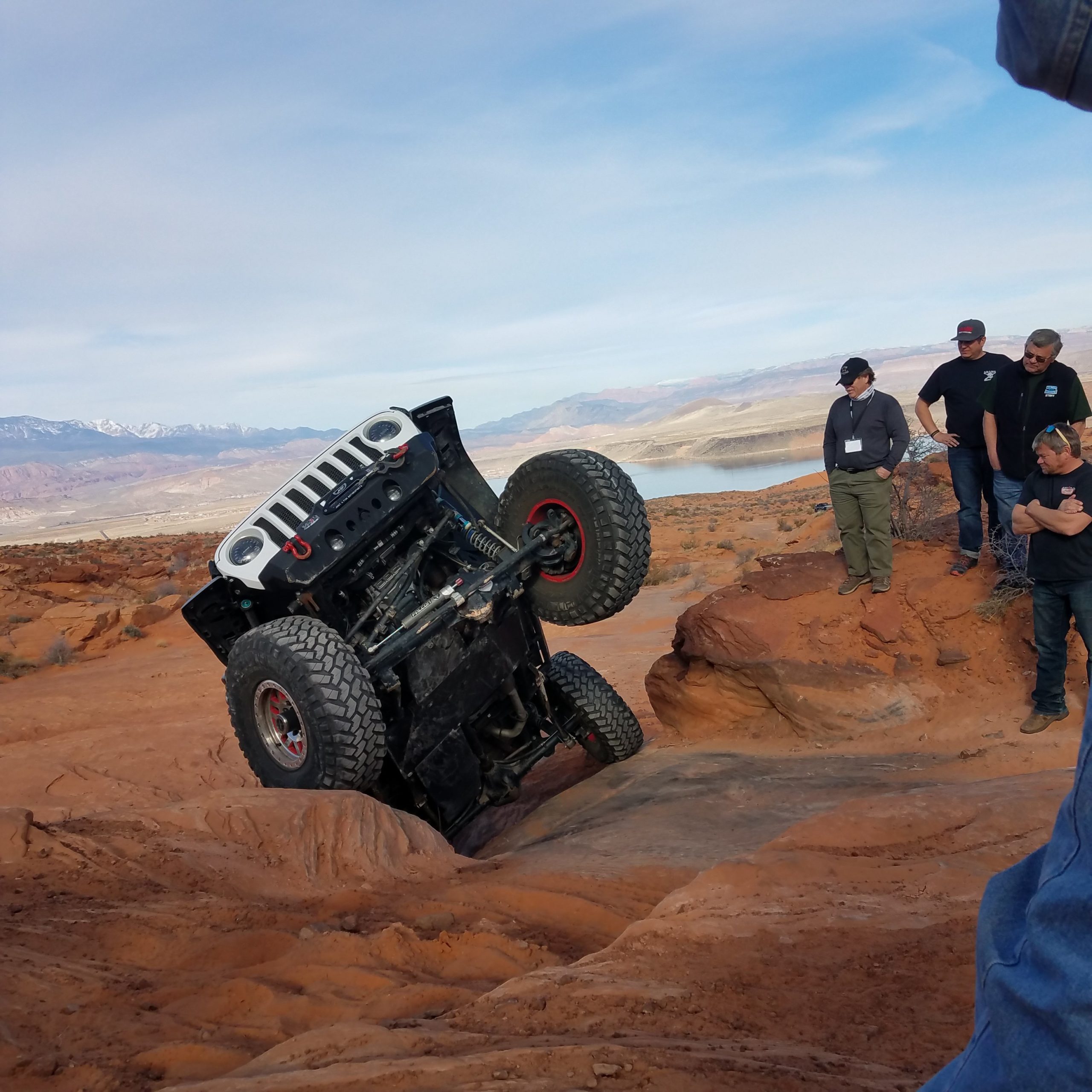
A few days before the trip, we participated in the Winter 4×4 Jamboree at Sand Hollow. Changing the Jeep over from rock crawler to overlander was fun. I had already pulled out the rear seats and built at raised bed platform for the back, which I conveniently left out for the Jamboree trails. The day after the event, I put our ARB fridge in behind the seats, finished installing the raised bed, and loaded it up with camping gear & tools.

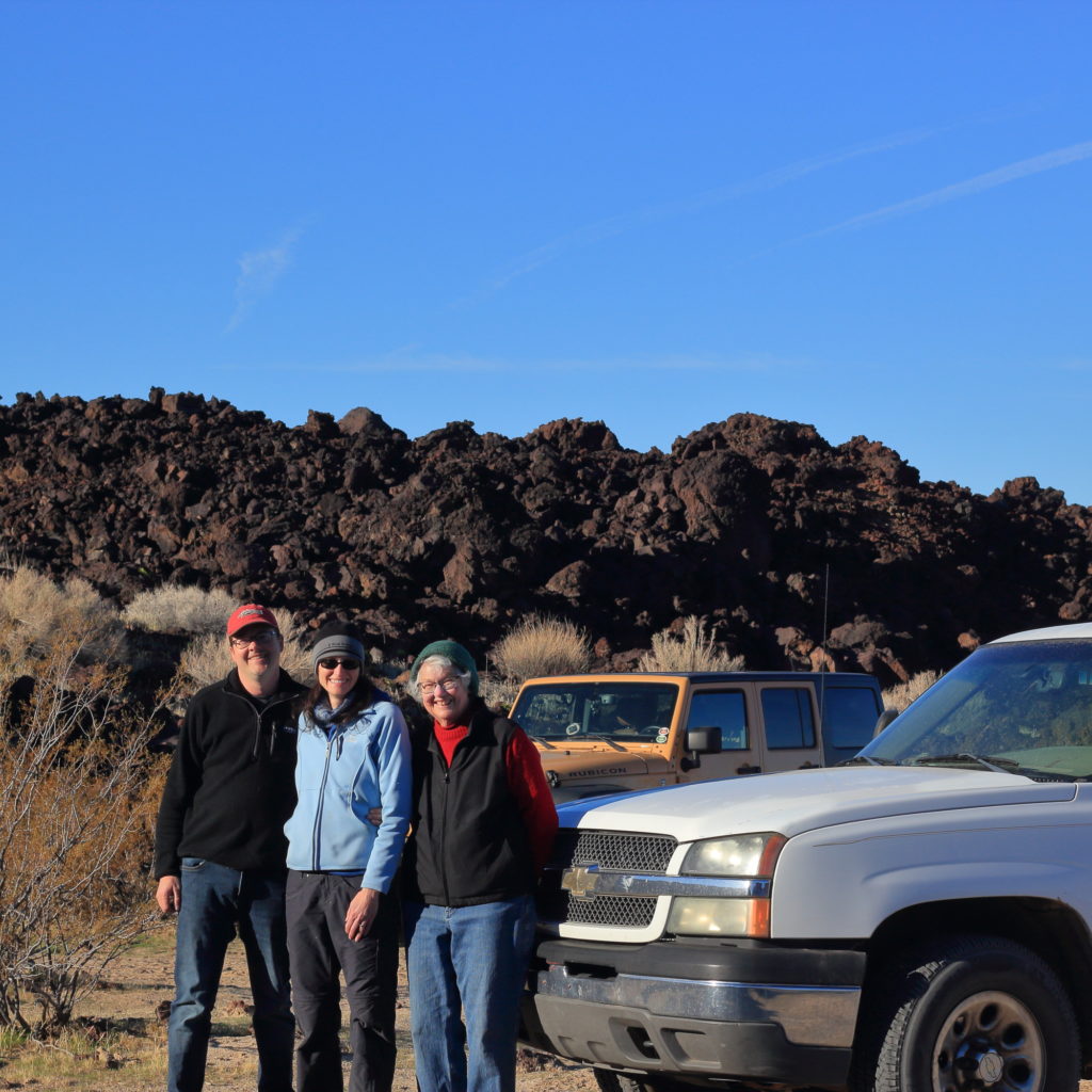
Front and Center 
Sand Hollow Views 
Traffic Jam-boree 
End of Trail Gathering 
Not me
As I was going over the Jeep from the Jamboree’s trails (I *may* have drug it over a rock or twelve), I noticed that the right rear wheel wobbled in and out slightly. Having seen it on the left side before, I knew the right axle flange was bent ever so slightly. Realizing that finding parts on a Sunday was impossible, I deemed it a non-critical issue and torqued everything back up.
The next morning, Kim and I drove down the west side of Lake Mead and met my mom in Boulder City Nevada, were my parents had lived for a while. It turned out that Mom was having a few issues with her rig as well. A check engine light was diagnosed as a suspect knock sensor, a common and non-critical problem. More concerning, the camper no longer had electrical power but it had been working back in New Mexico.
Get a hug from mom and grab the voltmeter to start measuring wires. It seemed that the house batteries for the camper were drained, which was odd as they should have been charged from the vehicle alternator. After reacquainting myself with the layout of the wiring (remember, dad was the electrical engineer, I am just mechanical monkey), I couldn’t find a fault at the back, but it also wasn’t being charged, even though there was power to the wires under the hood for the camper batteries.
And then the light bulb over my head finally got a dim glow. There was a switch under the hood, near the battery isolator. It was labelled “CHARGE ON/OFF”, but to the right up at the top, near the “ON” label, was another marking “J P”. A slightly brighter glow to the light bulb over the head. “CHARGE” was actually on the far left, near a relay. And that it originally had said “JUMP”, as in jump start. My dad had set it up so you could bypass the battery isolator to jump the vehicle battery from the house batteries. And I thought “ON” had meant it was charging the rear batteries. Oops.
So…flip the switch to “OFF” and go back to the house battery bank. With the engine running, it was now getting 13v and 55A worth of charging. At this point, I am really glad dad had changed the house batteries over to lithium-ion and they took the charge and held it. After throwing out all the now suspect meat in mom’s fridge, we left town headed south to the Mojave Road. As I told Kim, it wasn’t a Watts trip until there had been an issue that pushed the start time back a bit. I was happy it was only about 2 hours and not 2 days.
A couple hours south and we turned off pavement and headed to our first campsite near Balanced Rock just as the sun set. Luckily it was January and the place was empty. It also helped that we were starting on a Monday. Mom set up her camper in about 10 minutes and we converted our rig to sleep mode. We were hanging out with mom in her camper when 2 other rigs rolled in. And I was worried about arriving late.
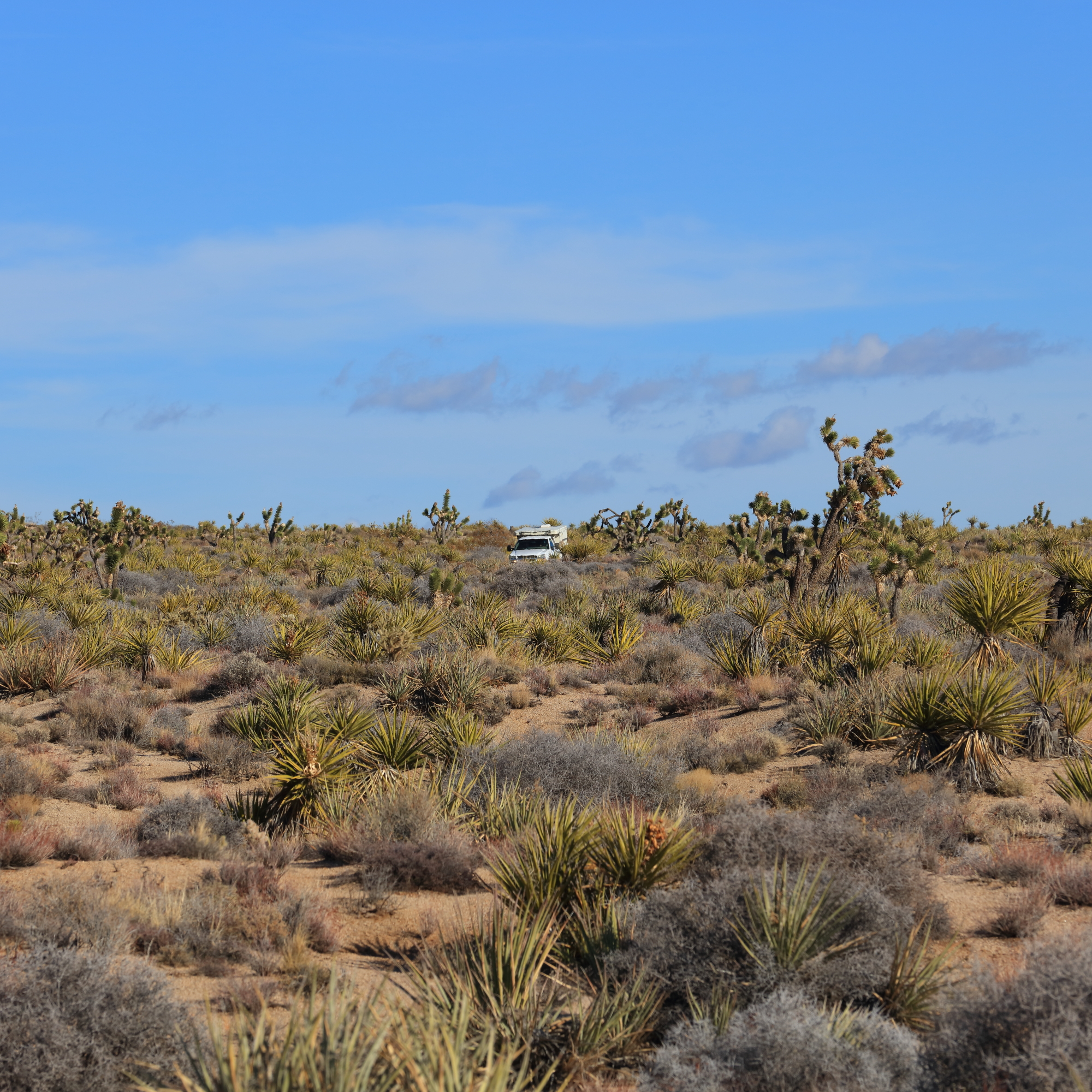
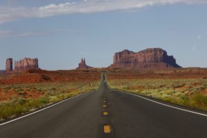
A beautiful morning greeting us as we left the campsite. Before reaching the Mojave Road proper, we were temporarily on the AT&T Cable road. As you see below, it is quite straight. AT&T made that road when they buried a cross-country telephone line, burying it deep enough to survive any EMP from a nuclear explosion, when that was a greater threat. While not the road we would be traveling, it gave a good view of how far we would be traveling.
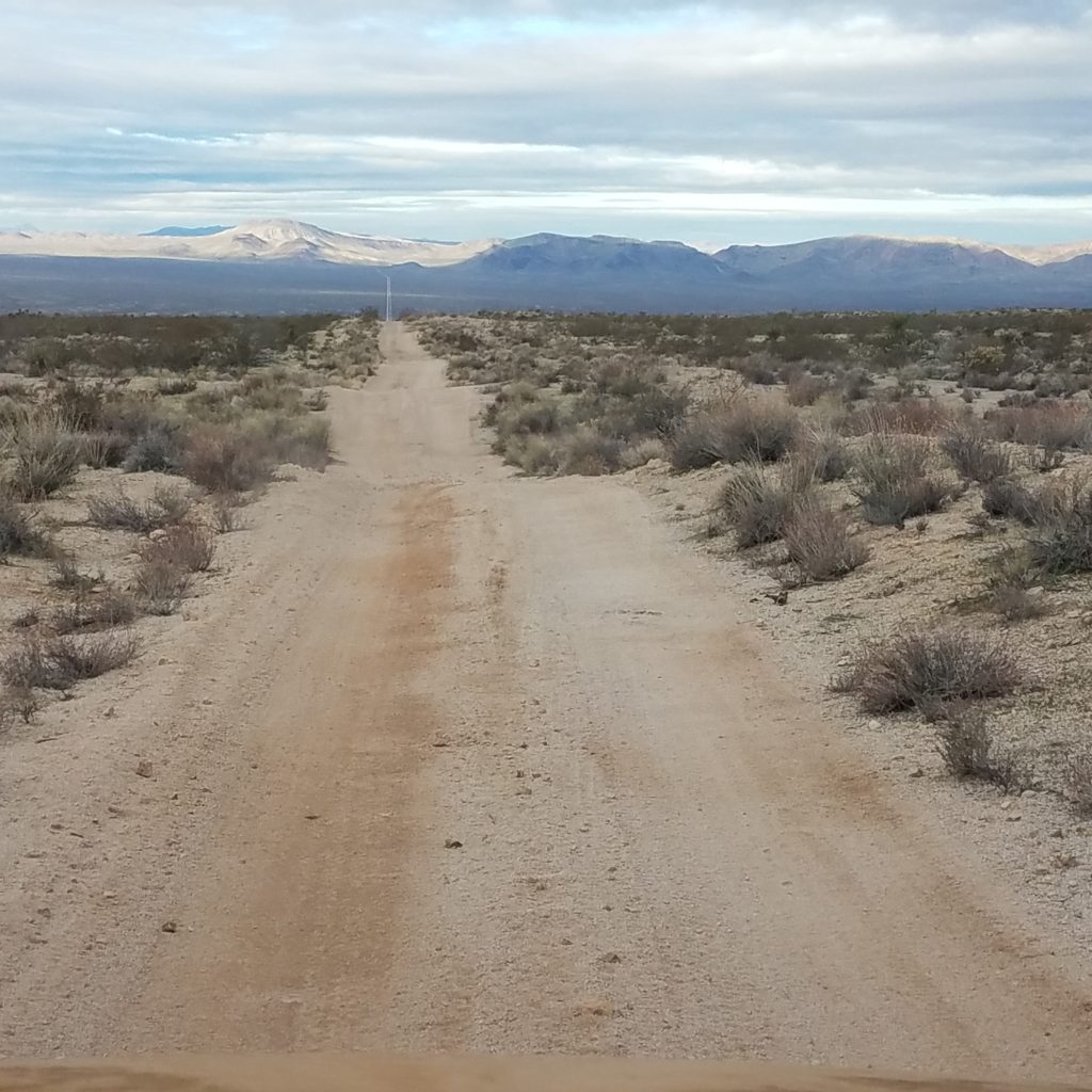
We shortly made our way to the official Mojave road, and started bumping along westward. The sage brush and small scrub was all we passed as we made our way towards our first stop, Fort Pah-ute. We passed over three distinct terrains along the way. The road started with some well packed desert sand then changed to a harder sandy and rocky mix and just before the fort the ground changed fully rocky road, definitely slower. We also started to get into more cactus.
The area around the fort is a beautiful oasis with hawks and other wildlife rustling around the willows and the cottonwoods. It makes sense to settle down here. There were also a few petroglyphs in the area, showing that people had been visiting this spot long before the fort was settled.
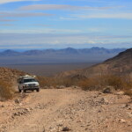
Since the old Mojave Road up past the fort site was washed out long ago, we backtracked to the east and headed up over a pass just south of the original road. My mom had been on this section long along and deemed it much more washed out that before. Regardless, she drove up the road without breaking a sweat.
Once through the pass, we saw the expanse we would be traveling across. The road smoothed out to a wide sand trail, and we soon jockeyed back north to rejoin the original route. Shortly after, we ran across a bittersweet disappointment: the Mojave Bus had been removed. We suddenly worried that we would be missing out on all the old Americana along the route.
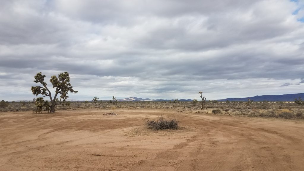
As the trail rolled on, we enjoyed the smooth sandy track. All of the sudden, a wide spot highlighted a fun stop: the penny tree! All three of us found a penny and dropped it in for good luck. And just like that, the anxiety of missing some of Mojave Road’s more unique stops vanished.
Further up the road, stopped by the first rock house which signaled our turn north for our detour up to Caruthers Canyon. As we headed north, we also headed up in altitude. And down went the temperature.
The road meandered north until it ended in a peaceful group of campsites amongst the pines. There were several secluded spots, some for single rigs, others for large groups. While it was peaceful, it was also quite cold. We shared a dinner of ham and green chile mac-n-cheese with mom in her camper, enjoying her heater. Then we left the warmth to our little cozy jeep bed.
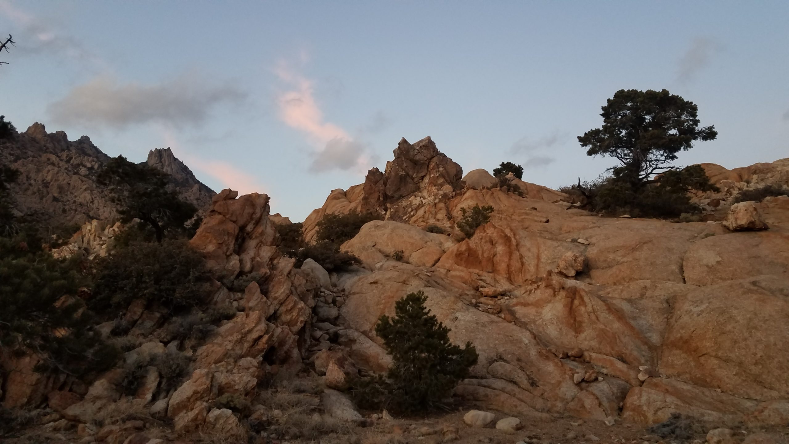
We woke to a little frost on both the inside and outside of our windshield. Mom’s heater had conked out in the middle of the night also. After watering a bush or two, we went on a little hike out into the morning sun. When mom joined us, she told of spending the night here a few decades back with dad. It was a beautiful morning of remembering my father as the sun chased the cold away.
Heading back south, we took a different road down to the Mojave Road. The first route south ended with a gate across private property, so we did a little back-tracking. The second route took us all the way back at Camp Rock Springs.
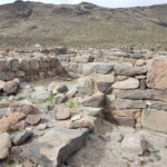
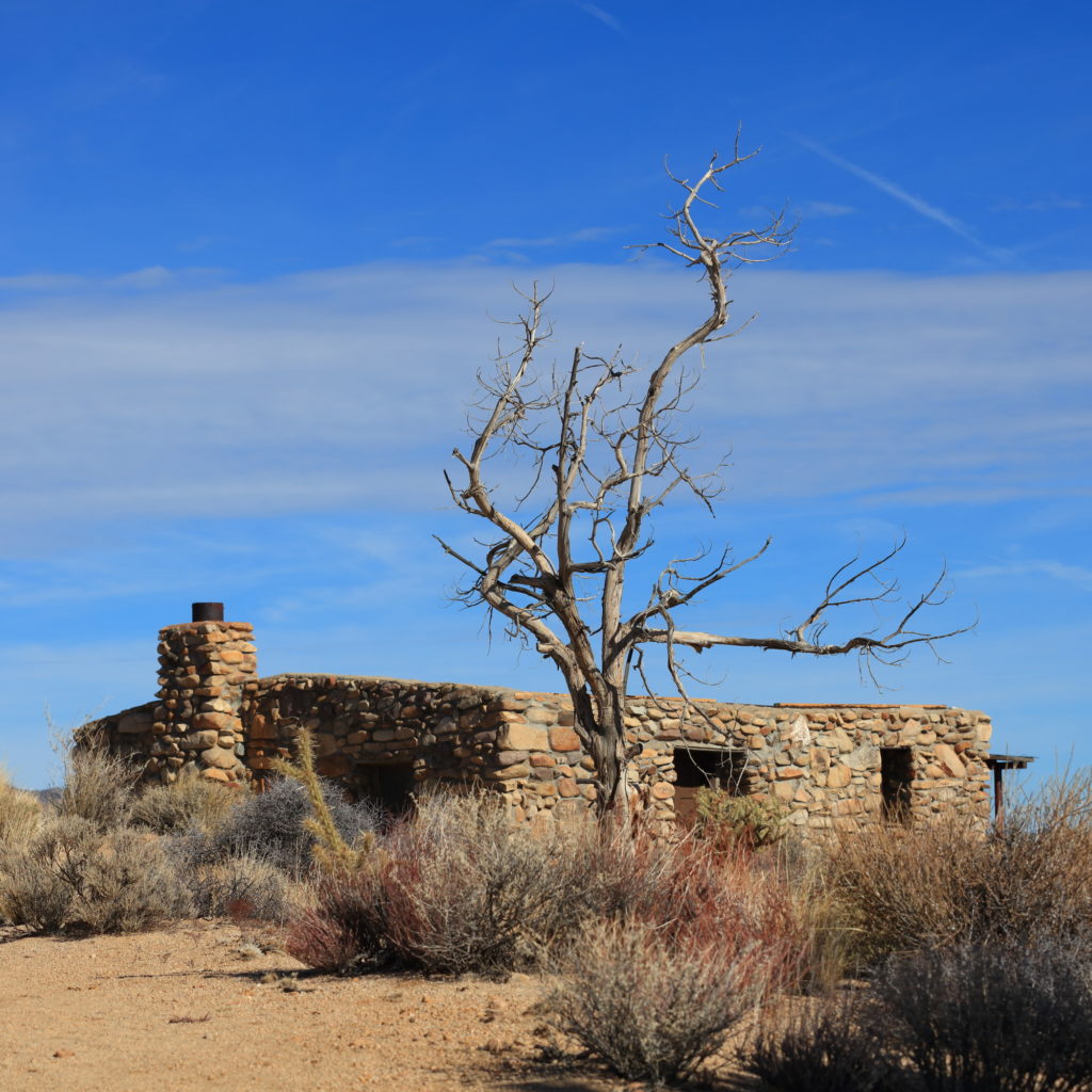
We parked at the bottom, by the spring outlet and followed the hiking trail up and around to the rock house. This rock house had been well refurbished. We hiked back down to the springs. The canyon had some snow, more cow poop and, finally, puddles of water.
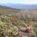
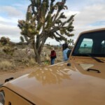
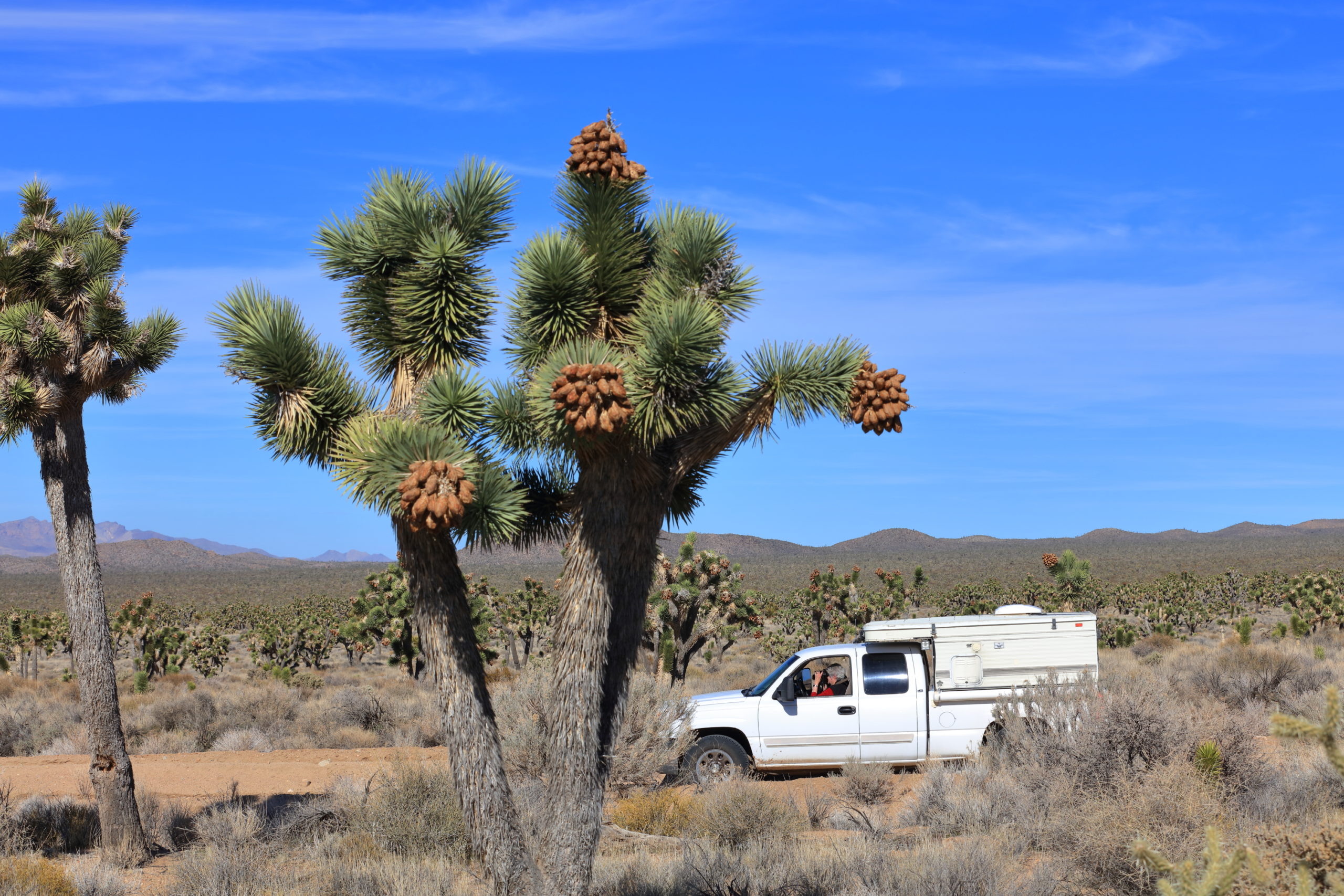
Time to grab a quick lunch and head west on the Mojave. The Joshua Trees became thick and we bobbed through the sandy “whoops”. You quickly learned there was a maximum speed you could carry else the front of the truck would be coming down as it needed to be going up.
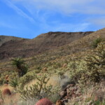
We loped along, enjoy the scenery. It was a landscape crossed with obvious routes of travel.
We stopped by a potential campsite, but it was early in the day, and it wasn’t anything special. We headed off across the desert in search of another campsite.
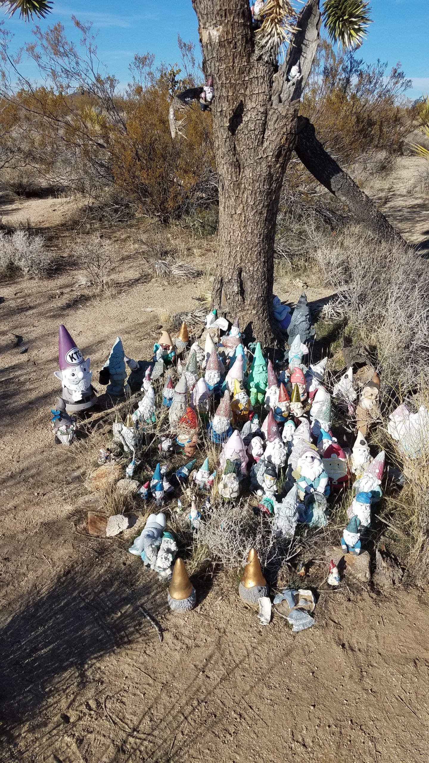
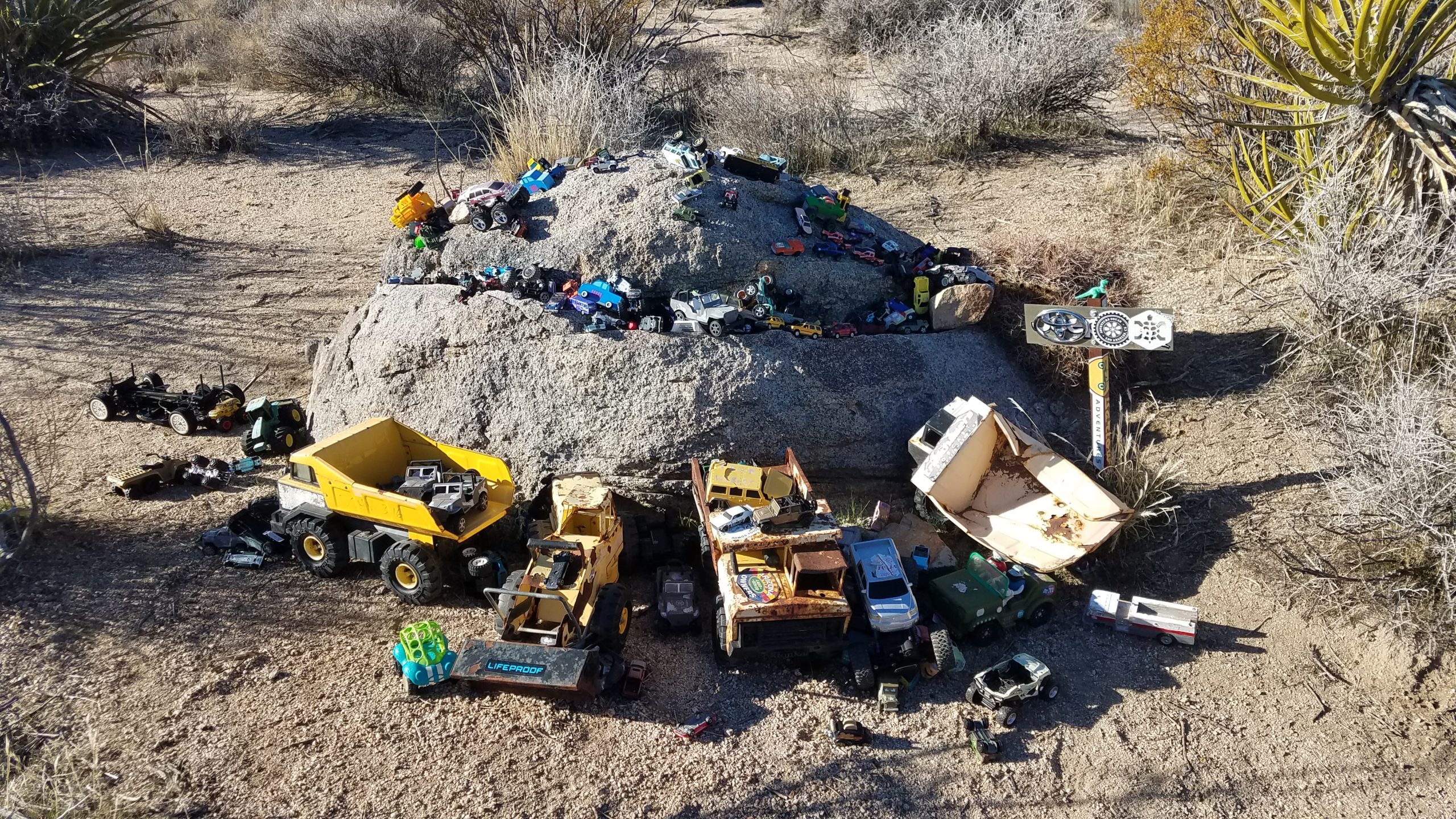
We again bopped along the sandy, wavy road, enjoying the sunlight. In the middle of nowhere, we came across another bit of Americana: the Mojave Mailbox. This stop proved to be a bit melancholy. Right next to the mailbox was a notice from the park service, basically saying there were planning to remove the collections behind the mailbox in the next month.
On one hand, I can understand the park’s desire to clean up the desert. And there were a few areas that looked a bit trashy. But several of the collections had been there for quite a while and deserved to stay. We may not understand why they are there, but they are as integral to the Mojave Road as the Rock Houses.
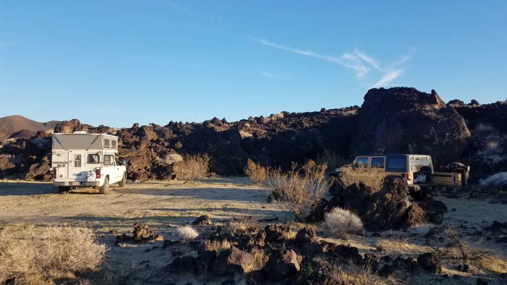
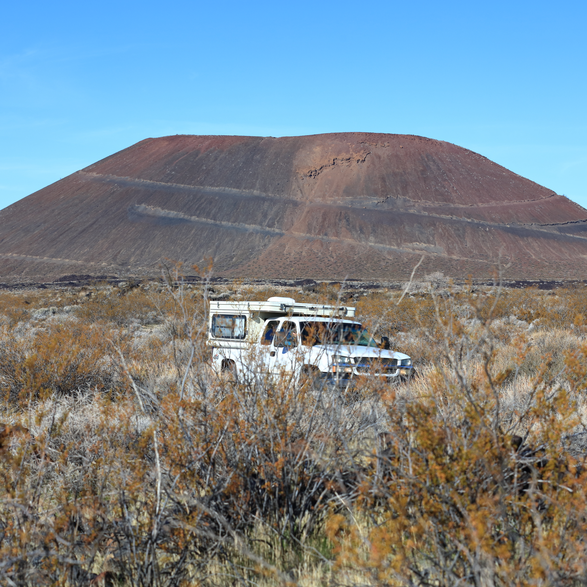
As we headed off, the road had obviously eroded a bit over the decades as the desert was at window sill level for a while. Thinking we maybe went a bit too far for a good campsite, we ended up near the Rainy Day Mine. It was a wash that sided up against a lava flow. As night fell, we realized that we could see I15 in the distance, but it was so far away it didn’t interfere with the serenity of the spot. Another peaceful night.
The next morning, we headed east to the lava tube hike. Now, I had 2 maps, both showing a route up and over from our campsite wash to the main road heading to the hike. There was a slight difference at the east end of the road, but as long as one of them connected we would make it. So we started up the wash.
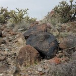
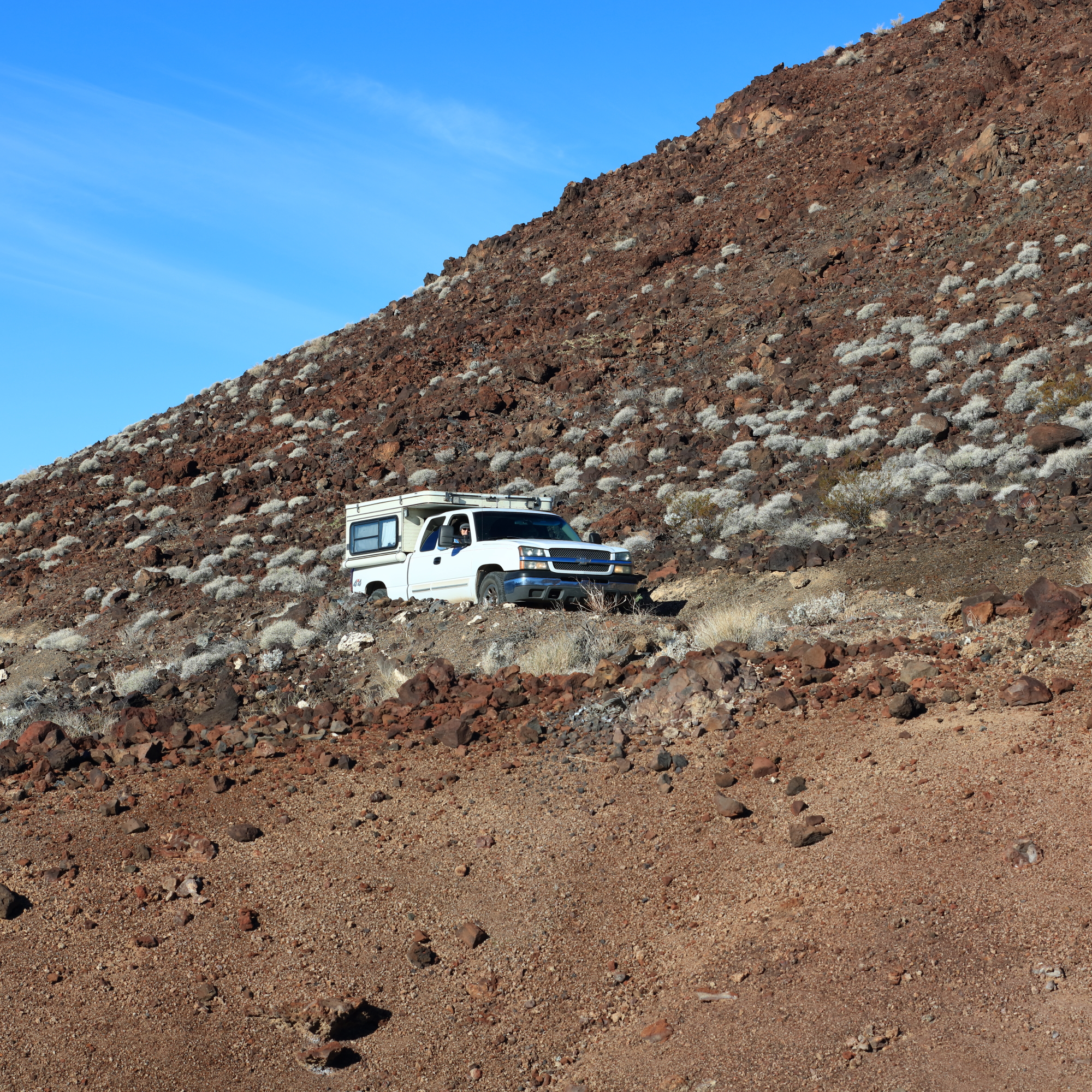
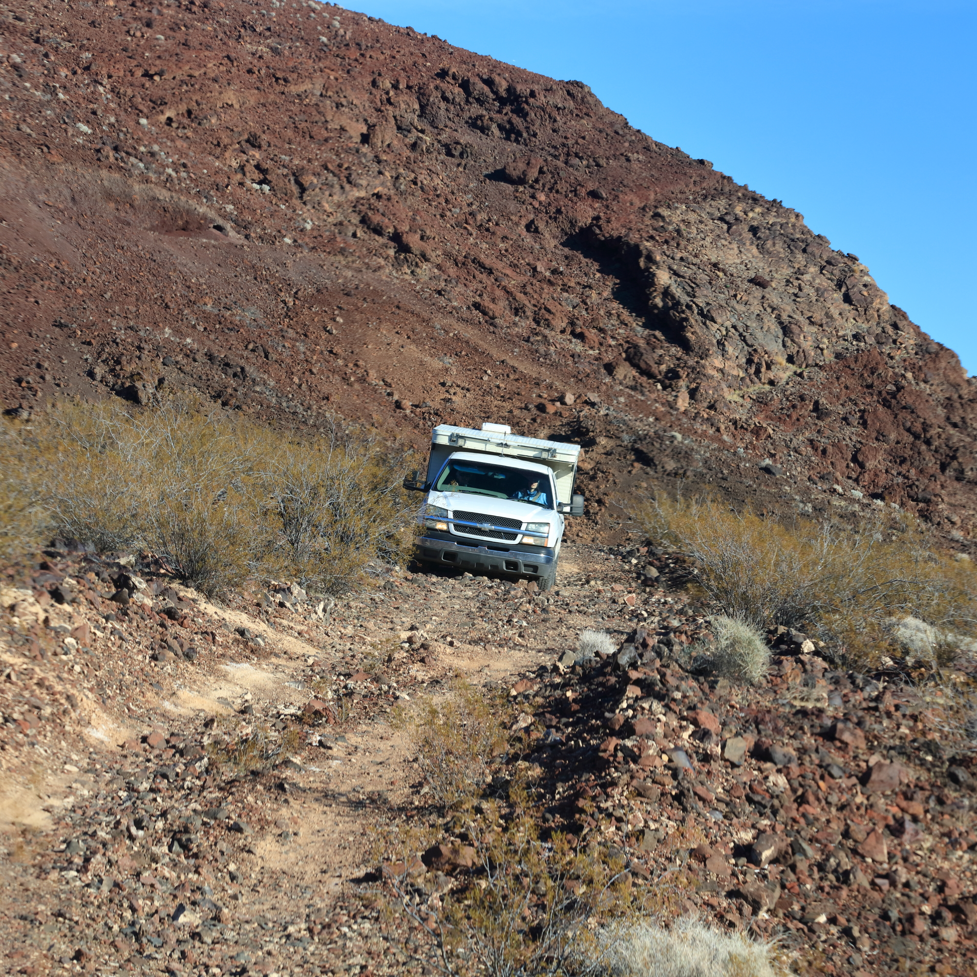
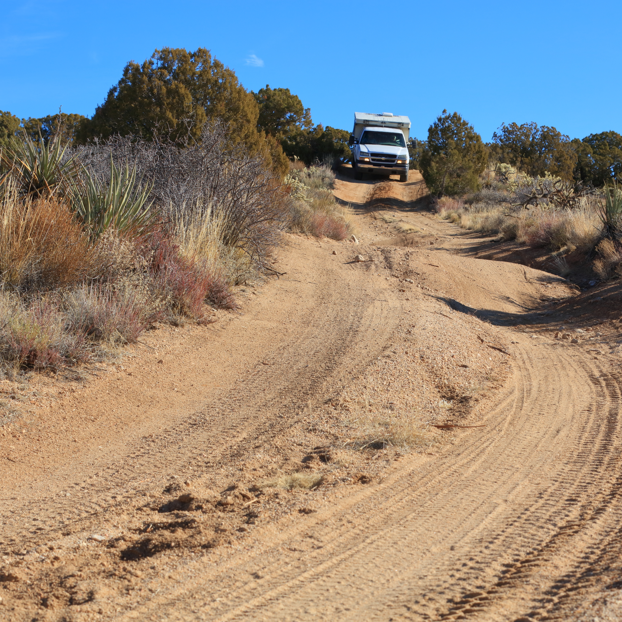
Mom, who had thought she was done with the serious offroading, was a bit surprised to see the trail turn out of the wash and start climbing a cinder cone. Well, so was I! But like the adventurous soul she is, she put it in 4 low and started up the hill.
I sent Kim back to help navigate the sharp rock strewn path, at which point my mom exclaimed “What is this? My final exam?” But she said it with a smile, so we kept going.
After another rather hairy hour of dodging rocks (and just hitting a few for good measure), we made it to the main road with air in all the tires. A few miles up the road and we got to the lava tubes. They were a short hike away from the main parking area.
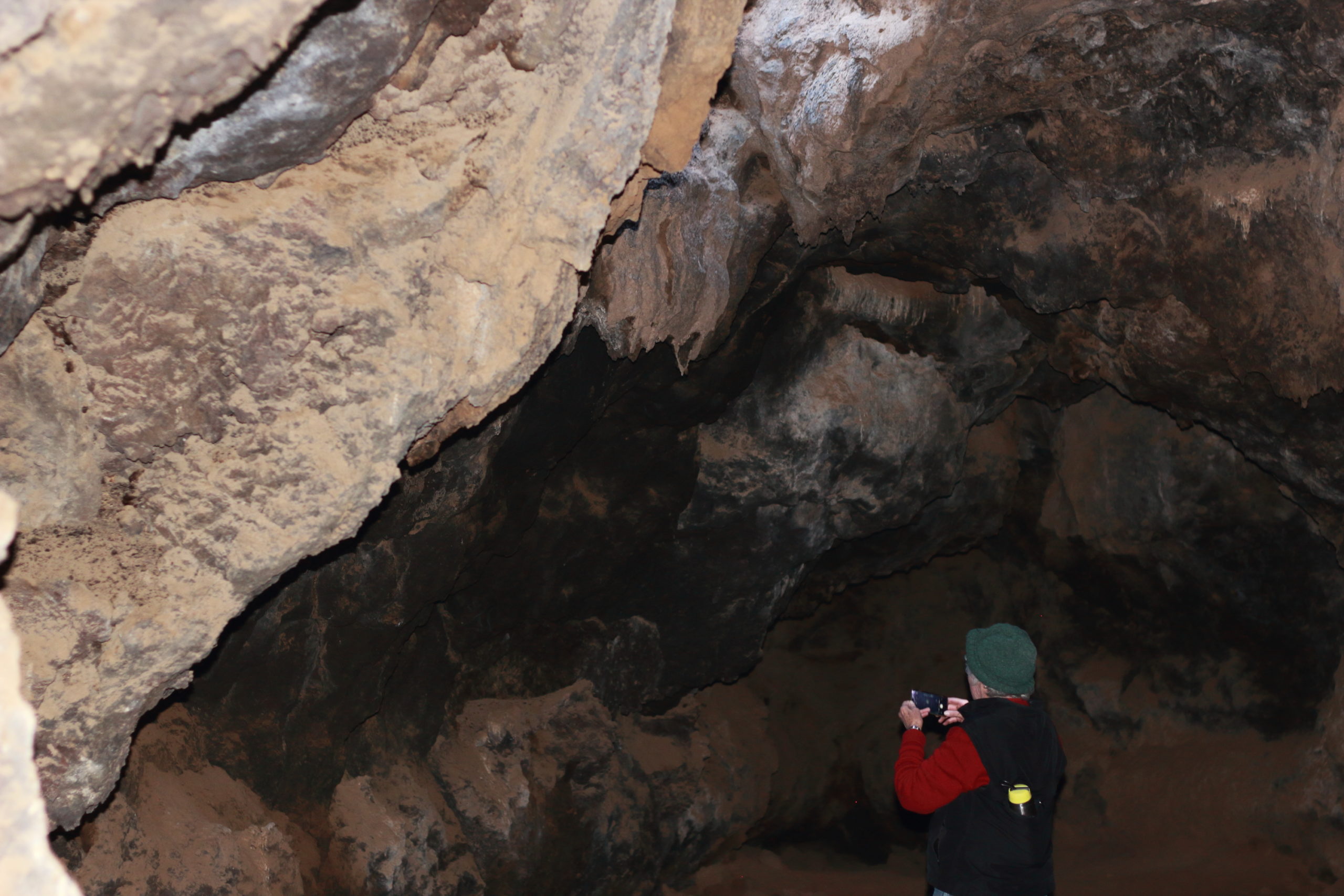
We climbed down a set of metal steps and turned on our lights. Getting to the main cavern took a little bit of crab-like scurrying, but once inside it was a neat area.
As we hiked down from the tube, a newer sedan rolled up to the parking area. Mom looked at me and said “I want to go out they way they came in!” Point taken, we followed the main gravel road out to the paved road to Baker. Mom needed to depart the trail, so we stopped in Baker for gas up and grub, before airing up her tires, giving our hugs and sending her off.
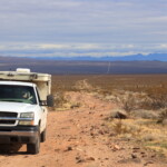
It still amazes me that mom drove her rig across the Mojave Desert. Seeing her behind the wheel made me chuckle. Mainly because the seats in the Silverado are a bit worn from the miles and they sit rather low. She looked like the proverbial “older adult” looking over the steering wheel, but with a 4×4 camper behind her and a serene desert ahead of her. It took guts, but she tackled it with ease and grace. It didn’t hurt that the truck my dad had put together gave her solid grounding,
So she headed east on I-15 in search for some friends in Quartzite and we headed west to avoid Soda Lake, the dry lake bed that I had heard wasn’t too dry. I must say that driving on pavement after 2 days in the dirt is strange. Luckily it was just two exits down the highway before we found dirt again. We headed back south to rejoin the Mojave Road and decided to head east to look at Soda Lake.
Turns out, it didn’t look bad at all. Since we could see Traveler’s Monument, we headed out through the stay-over-here guide poles and onto the open plane. We got to read the famous plaque and enjoy the flat lake beat stretching out around us. The route looked a little soupy yet still passable to the east, but we turned around to head into Afton Canyon.
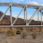
The entrance to Afton Canyon is a fun game of find-the-markers, usually wooden poles hiding in front of bushes, while traveling along at a good clip. Sure, you could go slower but why? Just before the first train trestle, we found a great campsite below an old mine. It turns out there is another mine just above it that wasn’t so abandoned, but promptly at 5pm, they trucks drove away and it was quite again. Except for the occasional train, but those added to the scenery.
The next morning, we climbed around the abandoned mine for a while and then head west, further into Afton Canyon and under the first railroad trestle. We stopped by the side hike into Spooky Canyon. It is a slot canyon that becomes a cave and pitch black. We headed in until I dropped my light, making it work intermittently, and I stood up into an overhanging rock. It is a fun little side track and easy to get to.
At this point, the Mojave “Road” just meandered right down the main path of the water through Afton Canyon. It wasn’t deep at all, but made for some fun splashes. My wife accused me of being a kid. Again.
Too short of a time later, we came across the second trestle. Here the water was a bit deeper but nothing to worry about.
Until we got to the last water crossing. This is “the” water crossing of the Mojave Road. I had heard it was up to 36″ deep, but that was due to a large snow storm over a month ago. I assumed it would have dropped back to its “normal” high of 30″. Um, not quite.
It turned out to be at least 35″ deep. Luckily, only a little water came in through the bottom of the doors.
Immediately after the deep water crossing is the Afton Canyon Campsite. Nice little stop for a lunch/bathroom. While you can continue along the Mojave Road a bit longer, we decided to hit the interstate and head south towards Anza Borrego. But I will cover that on another post.
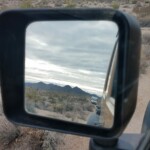
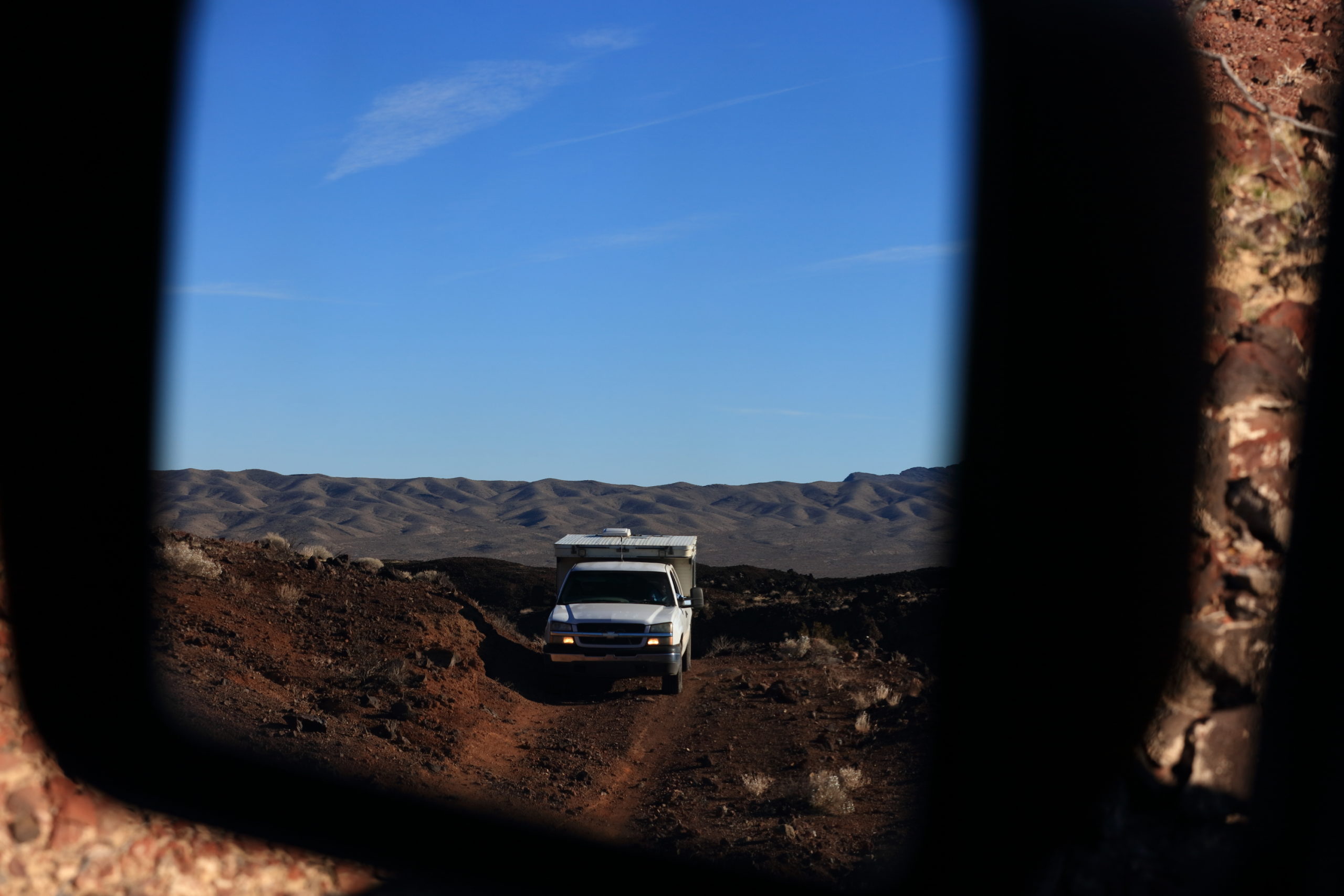
The three days on the Mojave Road was a special trip. Not just because it was a trip across the stoic and majestic Mojave, but that we got to share it with my mom. Seeing her wheel her way between the Joshua trees through my mirrors is something I will hold dear. Always the adventurer. My only question is, where do we go next?
